Plan · Transport
Getting to Snæfellsnes
Official road distances from Reykjavik and the airport, what the bus can and can’t do, where to fill up, and the rules of the road.
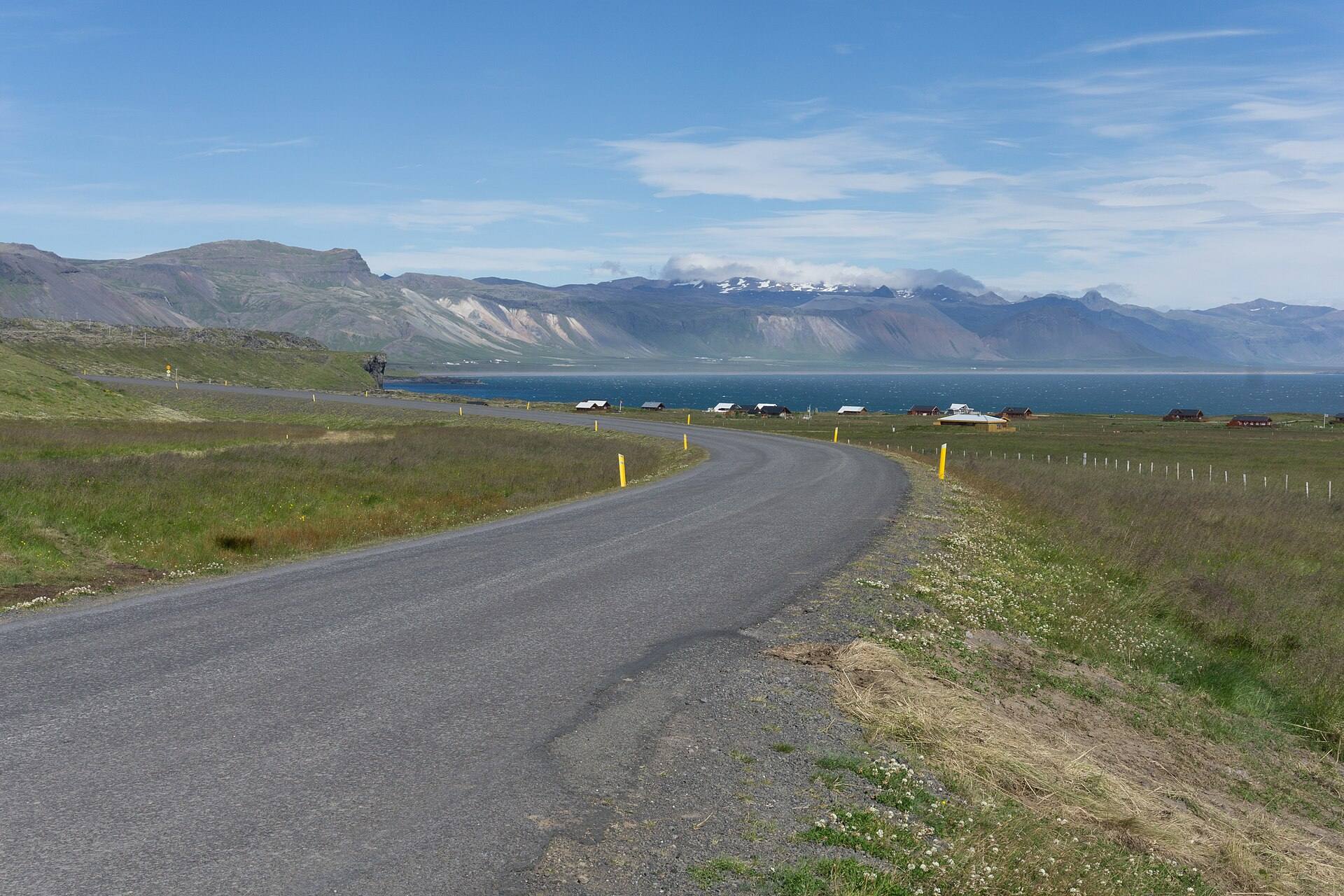
Driving
Leave Reykjavik north on Route 1, through the Hvalfjörður tunnel (5.8 km, no toll since 2018) and over the bridge into Borgarnes, the last town before the peninsula. From there, road 54 runs west along the south coast; for Arnarstapi stay on the coast on road 574 where 54 turns north over Fróðárheiði, and for Stykkishólmur and Grundarfjörður cut north over Vatnaleið (road 56).
| Route | Distance | Driving time |
|---|---|---|
| Reykjavik → Borgarnes | 74 km | about 1 h 10 min |
| Reykjavik → Arnarstapi | 192 km | about 2 h 50 min |
| Reykjavik → Grundarfjörður (Kirkjufell) | 177 km | about 2 h 40 min |
| Reykjavik → Stykkishólmur | 172 km | about 2 h 35 min |
| Reykjavik → Hellissandur | 204 km | about 3 h |
| Keflavík airport → Arnarstapi | 236 km | about 3 h 25 min |
| Keflavík airport → Stykkishólmur | 215 km | about 3 h 10 min |
Distances: Vegagerðin (Icelandic Road and Coastal Administration) distance calculator, all paved. Times: routing estimates without stops; no official source publishes drive times, so treat them as a minimum.
Around the peninsula
The usual loop runs Reykjavik → Arnarstapi → Djúpalónssandur → Hellissandur → Grundarfjörður → Stykkishólmur → Reykjavik: 479 km, about 7¼ hours of driving with no stops. Two mountain passes break it up: Fróðárheiði (361 m), the shortcut on road 54 between the south coast and Ólafsvík, and Vatnaleið (229 m) on road 56. The road over Jökulháls (570 and F575), right over the shoulder of the glacier, is open only part of the summer and not passable for ordinary cars: go round the glacier on road 574 instead (Arnarstapi to Hellissandur, 36 km).
Winter roads
Check conditions every morning and again during the day: umferdin.is shows road conditions, closures and wind on every stretch, and the road administration answers on 1777 from 06:30 to 22:00 every day. Weather warnings are on vedur.is and safetravel.is, where you can also leave a travel plan. In an emergency, call 112.
Fuel
There is a 24-hour self-service pump in Arnarstapi itself, and stations in every town on the north coast. Prices on 19 October 2026, ISK per litre:
| Where | Petrol 95 | Diesel | Notes |
|---|---|---|---|
| Arnarstapi (ÓB, Snjófell) | 284.4 | 331.8 | Self-service, 24 h |
| Hellissandur, Ólafsvík, Grundarfjörður (N1) | 287.4 | 337.5 | |
| Ólafsvík, Grundarfjörður (Orkan) | 284.2 | 329.8 | |
| Stykkishólmur (ÓB / Orkan / Atlantsolía) | 271.8–273.3 | 320.4–323.4 | ÓB 24 h |
Full prices from gasvaktin.is data; app or member prices are about ISK 10–12 lower. The national median that day was ISK 284.3 for petrol and 331.7 for diesel. Most card terminals in Iceland ask for a four-digit PIN.
By bus
Since January 2026 the rural buses are run by the road administration with Strætó. Two routes reach the peninsula:
- Route 58, Borgarnes – Stykkishólmur, connecting with route 50 from Reykjavik (Mjódd) in Borgarnes.
- Route 82, Stykkishólmur – Grundarfjörður – Ólafsvík – Rif – Hellissandur, connecting with 58 at Vatnaleið.
Neither runs on Tuesdays or Thursdays. On weekdays, the 07:25 from Mjódd reaches Stykkishólmur at 10:40 and Hellissandur at 11:21. Single adult fares from Reykjavik: Stykkishólmur ISK 5,400, Grundarfjörður ISK 6,000, Ólafsvík ISK 6,600, Hellissandur ISK 7,200; half price for ages 12–17 and 67+. Pay on board by card or cash. No bus goes to Arnarstapi, Hellnar or the south coast.
The Baldur ferry
From Stykkishólmur the car ferry Baldur crosses Breiðafjörður to Brjánslækur in the Westfjords, calling at the island of Flatey. It is now run by Ferjuleiðir (ferja.is). Winter fares (1 September 2026 – 31 May 2027): ISK 6,300 per adult one way to Brjánslækur, plus ISK 6,300 for a car up to 5 m; ISK 4,320 to Flatey.
Questions people ask
How do I get from Reykjavik to Snæfellsnes?
Drive north on Route 1 through the Hvalfjörður tunnel to Borgarnes (74 km), then turn onto road 54 along the south coast. Arnarstapi is 192 km from Reykjavik and Stykkishólmur 172 km, all on paved roads.
Can I get to Arnarstapi by bus?
No. Public buses (routes 58 and 82) serve Stykkishólmur, Grundarfjörður, Ólafsvík and Hellissandur on the north coast, but not Arnarstapi or the south coast, and they do not run on Tuesdays or Thursdays. Without a car, take a day tour.
Do I need a 4x4?
Not for the loop: every road on it is paved. You only need a four-wheel drive for road 570 and F575 over Jökulháls, which are open only part of the summer and not passable for ordinary cars.
Is the Hvalfjörður tunnel free?
Yes, there has been no toll since 2018. It has average-speed cameras.
What is the speed limit?
90 km/h on paved rural roads, 80 km/h on gravel, 50 km/h in towns, unless signs say otherwise. Single-lane bridges are 50 km/h; the first car to arrive has right of way.